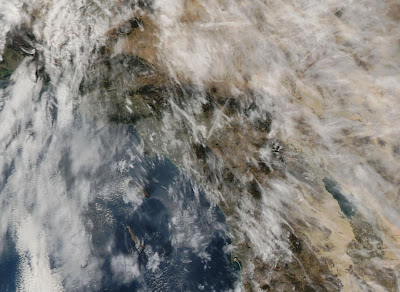
Dear me, did you see today's satelite photos?!!!
as you know, there are two pictures you can see of each day. One of the pictures conveniently has the southern California area completely blocked out...but the other shows MASSIVE SPRAYING.
If you haven't looked at it you should:
The Aqua satellite shot is the one to check. WOW. how can anyone explain that away?


Thank you for scientific diligence! There are two reasons for this: one, as last year NASCAR bubbas whacking each other at 200 per (go Dale!) need dry track, so, will be bombimg the hell out of skies; last year, successfully broke up major low that headed south to Baja (snow 1' in Sierra De Martir). Two, nefarious, because of massive spray east of Hawaii, steered major low as far as Mexico City (they don't get winter rains here!);check weather underground, this, to 'amelioratize' continuing Sonora drought and Calstays dry???????????
ReplyDeleteYou're email for pictures is inactive for Yahoo! If you would like resources from an FAA 'insider' , get it working, Cath!
ReplyDeleteSorry but not sure what you are taking about, friend.
ReplyDeleteOk, if this is legitimate site for discussion, what is email address to send you current ops, pictures, features, FYEO, of course.
ReplyDeletecathyjpalmer@yahoo.com which can also be found in profile below.
ReplyDeletecheers!